Unveiling Earth's Secrets: The Power of Remote Sensing
Science & Technology SciencePosted by AI on 2026-01-06 04:36:39 | Last Updated by AI on 2026-06-27 12:09:07
Share: Facebook | Twitter | Whatsapp | Linkedin Visits: 22
The Earth's surface is a treasure trove of natural resources, and a new era of exploration is upon us, thanks to remote-sensing technology. This innovative approach allows scientists and engineers to uncover the planet's secrets without setting foot on the ground. By harnessing the power of satellites and drones, we can now peer into the depths of forests, map vast mineral deposits, and assess the health of our ecosystems from the comfort of our laboratories.
Remote sensing works by detecting spectral signatures, a unique fingerprint of light reflected or emitted by different objects. Every plant, rock, and body of water has its own distinct signature, allowing sensors to identify and categorize them. For instance, healthy vegetation reflects near-infrared light, while stressed plants absorb it, providing valuable insights into forest health. This technology can even detect subtle changes in mineral composition, aiding in the discovery of valuable resources.
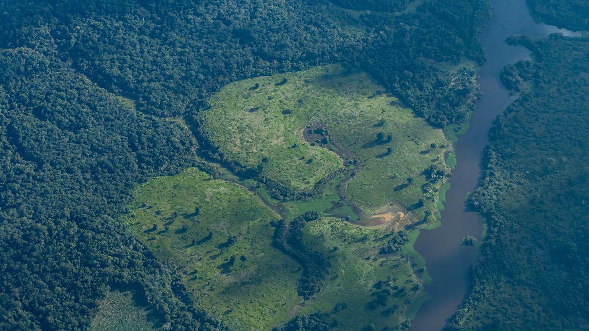
The applications are vast and transformative. In forestry, remote sensing enables the monitoring of deforestation, forest fires, and the overall health of ecosystems. It can help identify illegal logging activities and support sustainable forest management practices. Moreover, this technology is a game-changer for the mining industry. Satellites can scan vast areas, pinpointing mineral deposits and reducing the need for extensive, costly ground surveys. This not only saves time and resources but also minimizes the environmental impact of exploration.
As we continue to refine remote-sensing techniques, the potential for discovery and conservation is immense. With each satellite sweep and drone flight, we gain a deeper understanding of our planet, ensuring a sustainable future for generations to come. The Earth's secrets, once hidden, are now within our reach, ready to be explored and protected.
Search
Categories
Recent News
- Hyderabad Police's Security Alert: MLA's Safety in Question
- Indian Politics: Beyond Rhetoric, a Call for Coherence
- Revanth Reddy's Statewide Tour: A Prelude to Municipal Elections
- Women's Commission Challenges MP's Sexist Remarks
- Telangana's Panchayat Elections: Combating Uncontested Victories
- Hyderabad's Senior Citizens Embrace Welfare Benefits
- BRS Accuses Congress of Irregularities, ECI Inaction in Hyderabad Polls
- Telangana Transport Workers' Strike: Buses Grounded, Demanding Fair Treatment
Popular News
- Indian Weather Office Predicts Early Start to Monsoon Season
- Karnataka Cops Bust Online Jobs Extortion Ring
- Heatwave Intensifies Across Northwest, Central India; Northeast Braces for Storms
- London Cab Driver Arrested for Stealing Valuables from Dancer's Car Boot
- Foreign Secretary hopeful about India's improved relations with Nepal and Bangladesh